
- Home
- Live Blog
- Breaking News
- Top Headlines
- Cities
- NE News
- Sentinel Media
- Sports
- Education
- Jobs
STAFF REPORTER
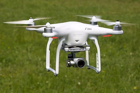
GUWAHATI: The Assam government has decided to commence the first-ever drone-aided aerial survey of the State's geographical area.
According to official statistics, the State's total area is 78,438 sq km.
Following direction from Chief Minister Himanta Biswa Sarma, the DLR (Directorate of Land Records) has already set the stage. Sources informed The Sentinel that the Directorate has already floated tenders on a national level in this regard.
Meanwhile, a DLR source said that this pilot survey project is for Dibrugarh and Tinsukia districts.
Mentionably, there is no (geographical area) map of 774 villages in these two upper Assam districts. While a few did possess such maps earlier, those are damaged now, said the source, adding that a few others do not have any such map.
After completion of the tendering process, the selected bidder (firm) will have to carry out the drone survey of these 774 hamlets in the two mentioned districts.
The drones will have high-resolution cameras. This survey data will comprise details of both the habitation and non-habitation areas besides the forest areas.
The government has plans to go for more such surveys across Assam. The source pointed out that the extended project — covering the entire State — would take two to three years.
Also Watch:
