
- Home
- Live Blog
- Breaking News
- Top Headlines
- Cities
- NE News
- Sentinel Media
- Sports
- Education
- Jobs
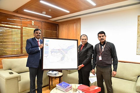
Guwahati: Assam has taken a significant step towards data-driven governance and precision planning with the formal receipt of the Geodetic Asset Register (GAR) from officials of the Survey of India (SoI), Guwahati, at the Chief Secretary’s Office. With the GAR having been received on behalf of the Chief Minister of Assam, Himanta Biswa Sarma-led government, by the Chief Secretary of Assam, Dr Ravi Kota, it reiterates as a major step in the direction of data-informed decision-making.
Created by the Survey of India, the Geodetic Asset Register (GAR) is a core national geospatial database with national-level applicability and functionality. It provides a uniform and accurate digital mapping of key geodetic assets in the nation with a view to providing accurate localisation and aligning geospatial elements in various domains in a comprehensive manner.

In Assam, the GAR has documented key geodetic resources successfully and enumerates these as 35 Continuously Operating Reference Stations (CORS), 57 Ground Control Points, 501 Gravity Reference Stations, and 8 Magnetic Repeat Stations. All these components play a crucial role in ensuring that a variety of programs and purposes related to geodetic observations can take place effectively.
Moreover, it will help to point out that the ability to have such detailed geospatial information which would greatly facilitate the development programs’ planning, execution, and monitoring. The GAR is also forecasted to improve people-centred services by providing more accuracy in mapping, surveying, and governance-related decisions.
It is pertinent to note that Assamese has been added to the list of languages in which geodetic maps are currently available, in addition to English and Hindi, making it an important feature of this initiative. It will prove to be a milestone in making geospatial information easily accessible to people.
During this interface meeting, officials from the Survey of India stated that the GAR is a national strategy asset that enables evidence-based decision-making and enhances geospatially driven initiatives like SVAMITVA. The interface meeting also discussed the formation of State-level and District-level committees to coordinate the use and strengthening of geodetic assets for their optimum use.
Recognising the significance of the register in the context of the State’s requirements, the State Government reiterated its commitment to the effective use of the robust geodetic framework. The efforts are set to play an important role in facilitating the State of Assam’s vision of better resource planning, the development of robust infrastructure, as well as disaster management.